K2 BASE CAMP TREK
One of the main trekking of the Park, probably the most famous, is the K2 trek.
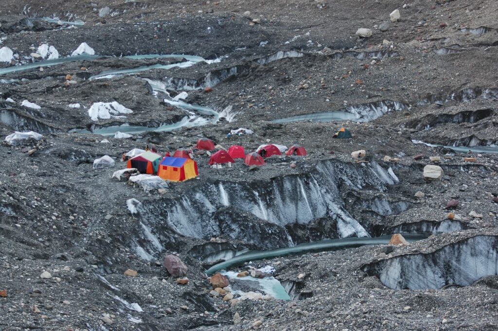
From Skardu, hiking up the Baltoro glacier, with the logistic support of the local tour operators providing food and tents, it is possible to reach the K2 base camp, in 7/8 days. Six stops are in common with the trek 1 Gondogolo La, trek 2 K2 base camp, trek 3 Gasherbrum base camp (see trek 1,2,3).
Itinerary:
Skardu – Askoli – Joula – Paju – Urdukas – Goro II – Concordia – K2 Base camp – Goro – I – Bardumal – Askoli
Skardu – Askoli 3048 m, 6 hours by jeep
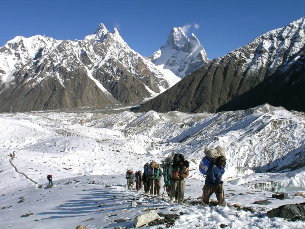
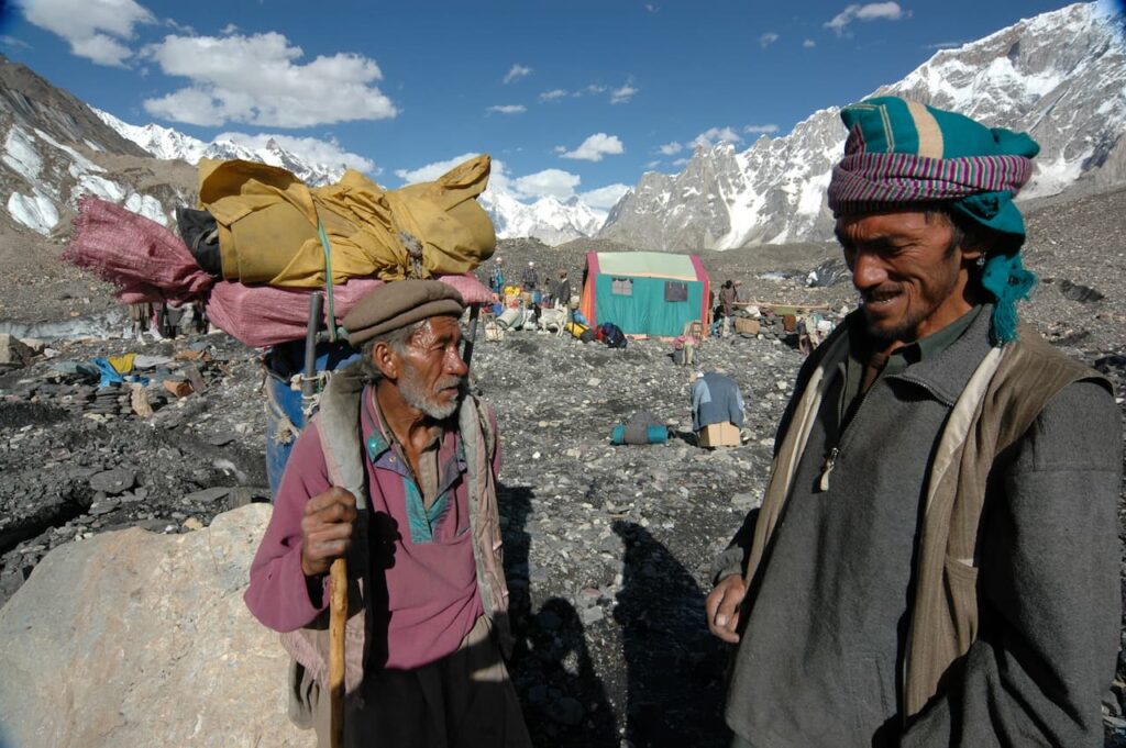
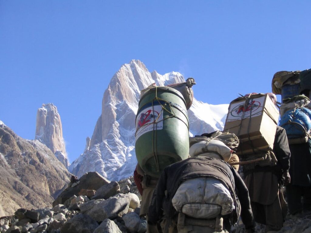
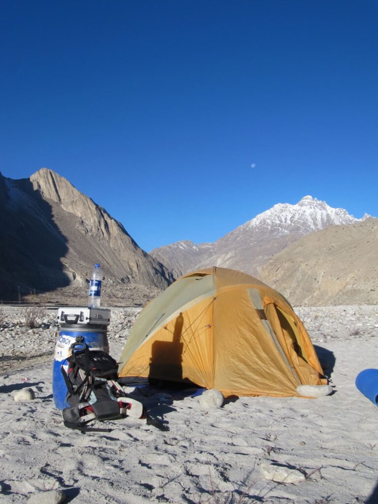
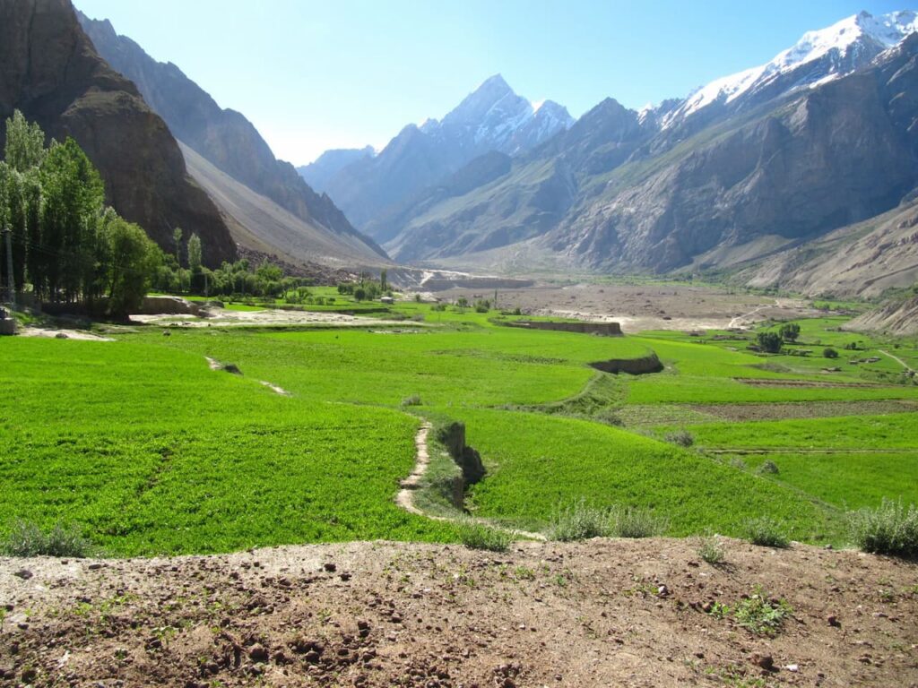
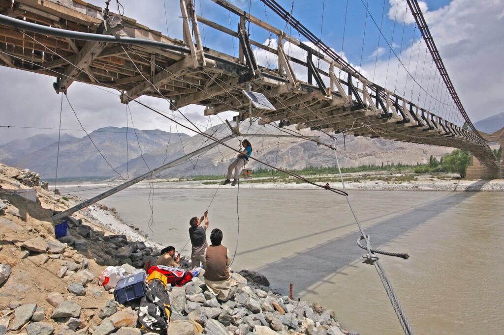
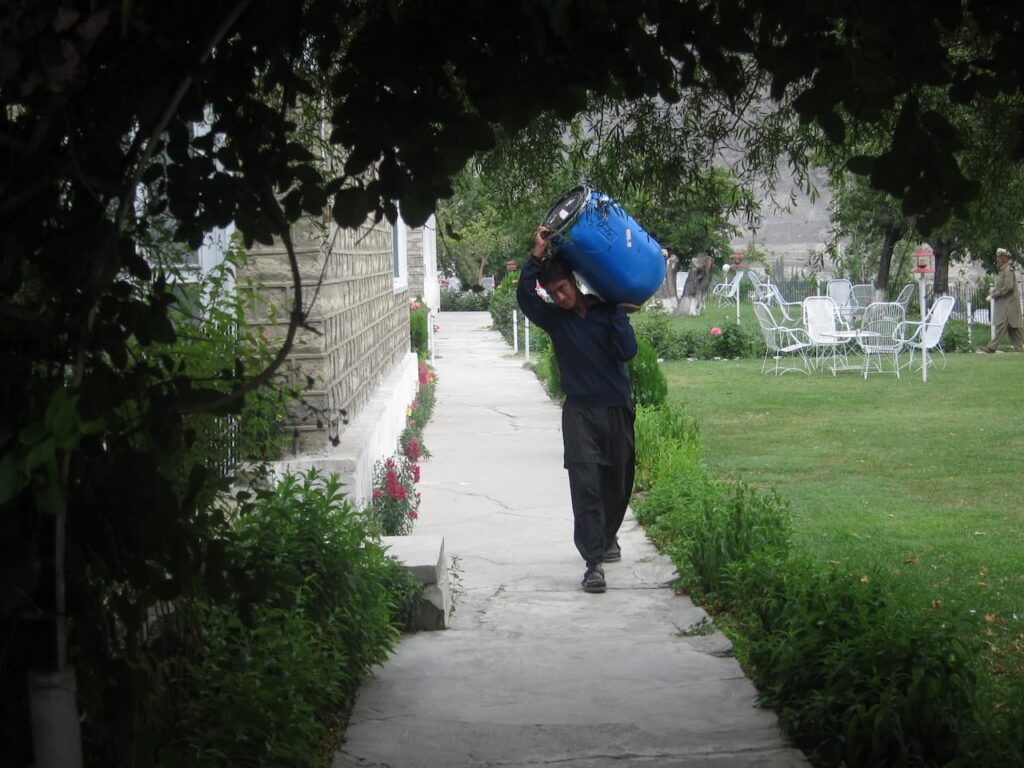
In Skardu all luggages, tents and instruments are loaded on the Jeep. Following the Indus valley, here spectacular and sandy, after few kilometres from the village, you cross the river turning northwest toward Shigar and continuing along the Shigar valley. At the confluence of Braldu and Basha river you turn sharply right onto the valley, following the northeast direction that lead up to Concordia. At this point the path is tortuous and the road is often interrupted. Only the continuous work of the local population make the road useable. In 6 hours, the jeep will take you to Askole at an altitude of 3048 m. Askoli is the last village and the starting point of the trekking. From here on, all the necessary materials will be carried by mountaineers, trekkers and porters in drums, backpacks and bags.
Askoli – Joula 3200 m, 6-7 hours on foot
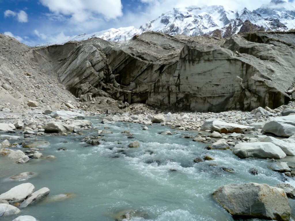
From Askoli, keeping on the left-hand side of the valley, in a short time you get to the front of the immense Biafo glacier extending to the northwest for over 60 km. The Biafo with its 344 m2 is one of the largest glacier in the world. Leaving the front of the glacier, along a stony path, we get to Jhula, the point of intersection of two valleys, following south direction. The altitude gap is not excessive but, to be the first day of hiking, the kilometres walked are enough. You could rest in the afternoon sun surrounded by several peaks of over 6000 meters, many of them without a name.
Joula – Paju 3785 m, 6-7 hours on foot
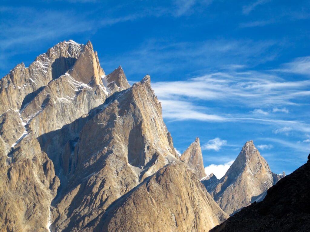
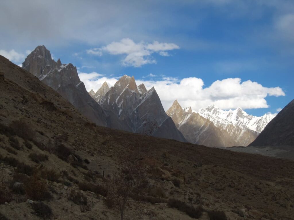
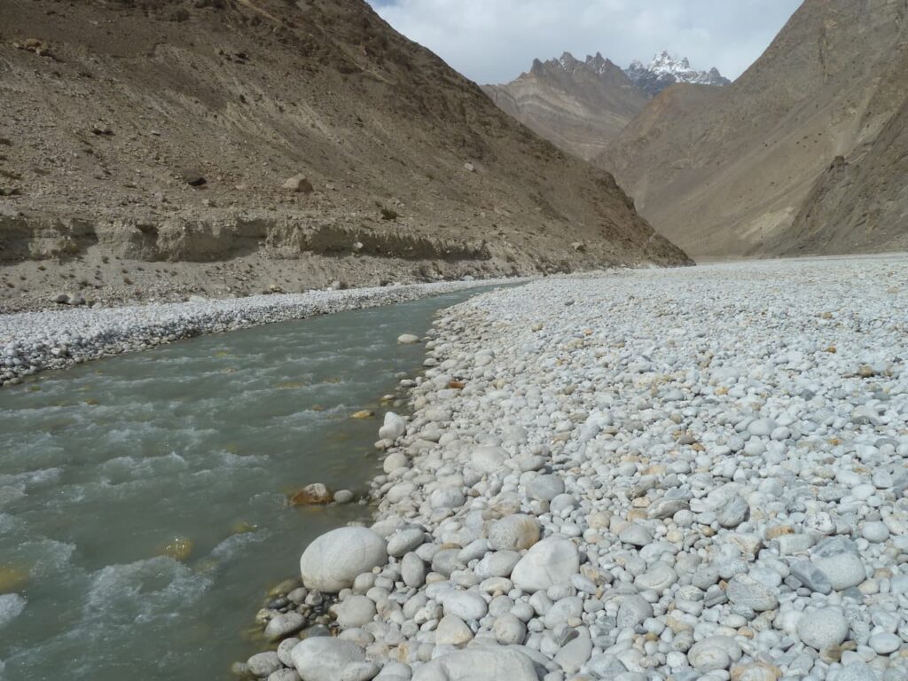
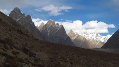
From Joula you go through the valley carved by the Braldo river, fed by the Baltoro glacier and many other lateral glaciers. The first two massifs are the Joula peak and the Uli Biaho peak with its famous tower over 6000 meters high. From here you enter into the real heart of Karakorum where mountains, whose evocative names are well known by all mountain lovers, are placed. The trail is on the right-hand side of the valley and passes by Bardumal ( 3253 m), before rising towards the tree-lined oasis of Paju. On this second day the altitude gap becomes more significant, reaching 3785 meters range. In Paju you probably feel high altitude a little bit more than the day before. From Paju the gaze is loses between the vertical peaks of Biaho Tower, Cathedral, and Trango Towers just hidden: the forbidden dream of every climber.
Paju – Urdukas 4240 m, 7-8 hours on foot
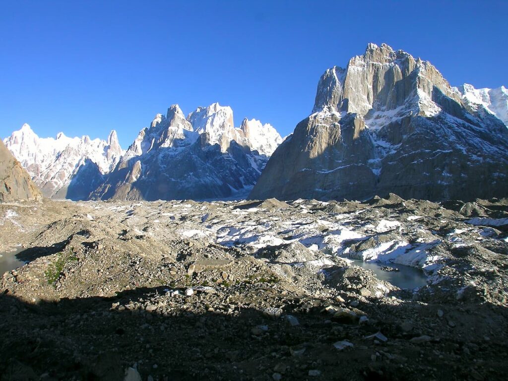
Finally, after Paju, you reach the Baltoro glacier right in front the Uli Biaho. After crossing the front of the glacier you move forward the left-hand side of the valley, losing slightly altitude down to Khorbutse (3650 meters) perfectly in front of Biaho Tower. From here, we ascend slowly toward Liligo point where the Trango Glacier join the Baltoro Glacier. The gaze loses in the maze of valleys carved by Trango glacier, narrow at the entrance and then fanned; Trango towers dominate the glacier in all their vertical magnificence. Finally, you rise up to the 4240 meters of Urdukas camp. Even if the altitude steps seem deliberately designed to help acclimatization, hiking up over 4000 m could be hard. This is one of the longest and tiring stage. At Urdukas, with its green terraces, Baltoro glacier is wide, Concordia is over there, and just in front of you there are mountains, peaks and high towers.

Urdukas – Gore II 4500 m, 5-6 hours on foot
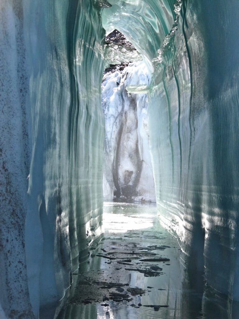
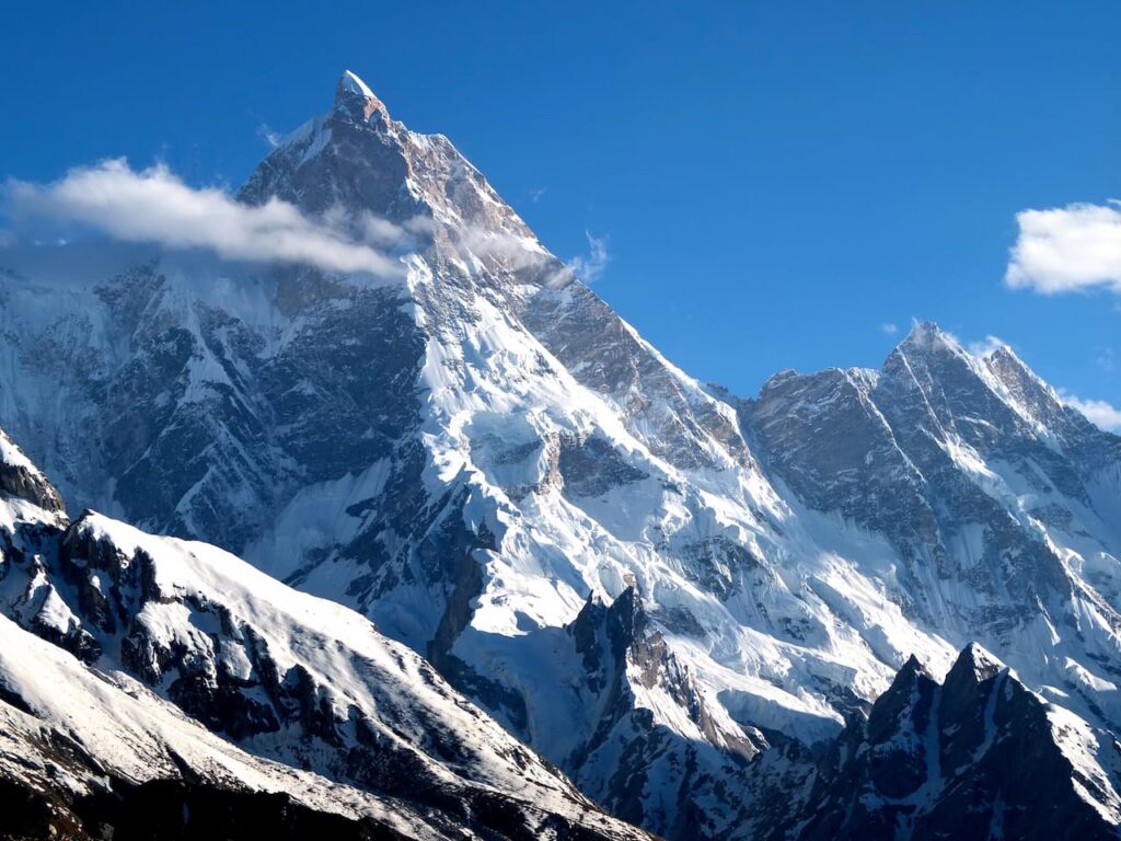
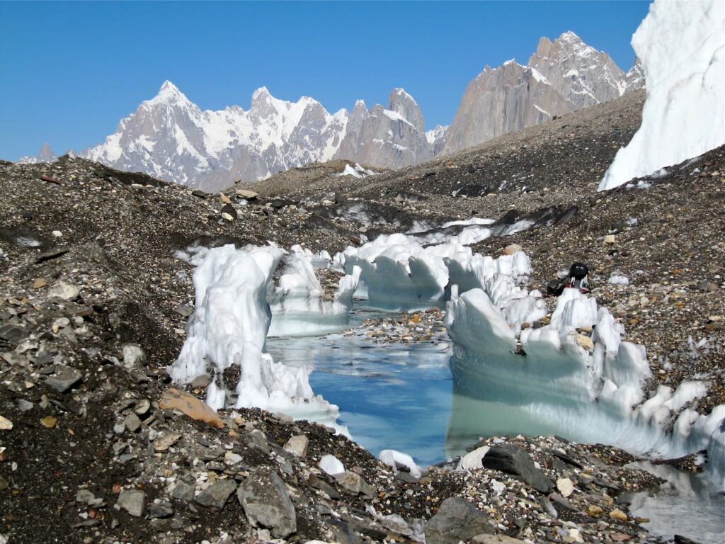
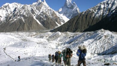
From Urdukas you ascend along the Baltoro glacier crossing it until you reach Goro camp and then Goro II camp, just ahead. The entire route runs along the Baltoro glacier, passing at the base of Masherbrum face with its icy peak reaching further upwards to 7821 m. Along the way, the glacier is modelled, small and white icy walls sudden rise up in front of you. The trail pass around these icy structures : the famous Baltoro sails.
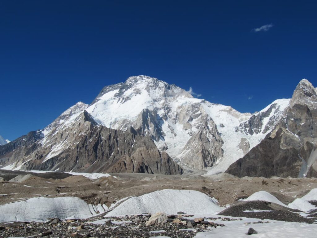
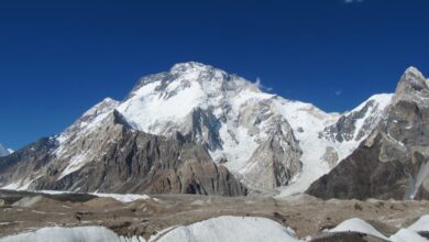
In front of Masherbrum, the Muztagh Tower, up ahead you find the Gasherbrum peaks. From Goro the view is open, in south direction you can see the path covered, in north direction, at the end of the dark glacier you can see Gasherbrums and Broad peak.
Gore II – Concordia 4691 m, 4-5 hours on foot
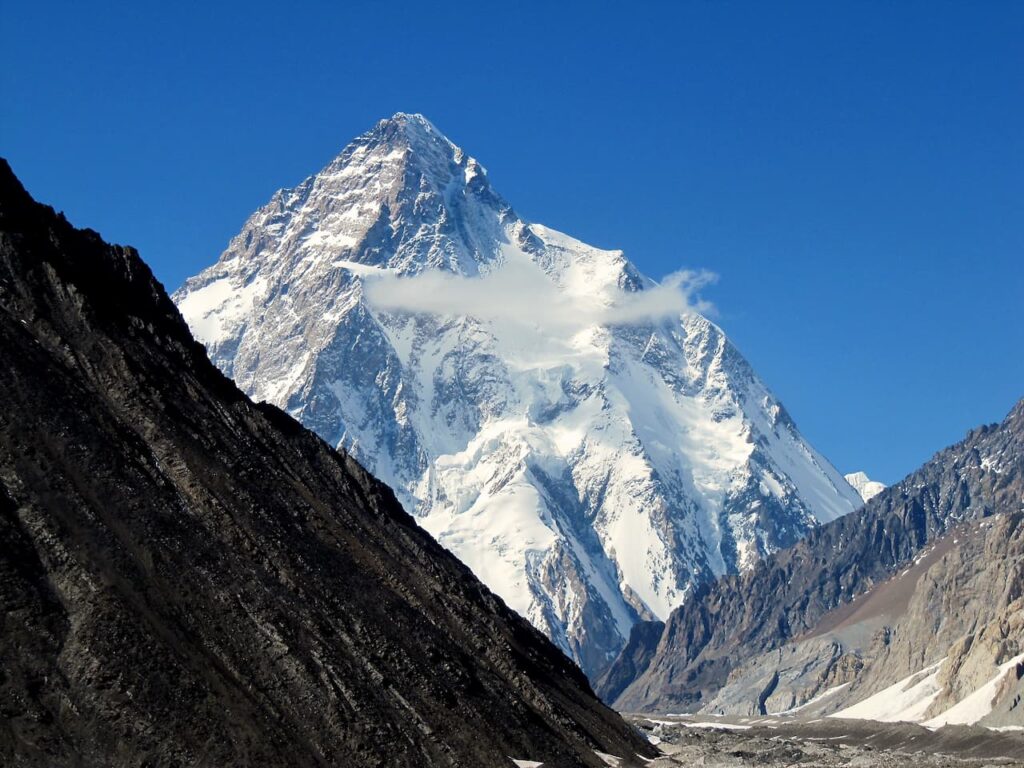
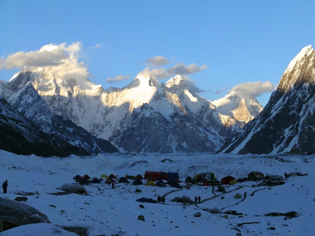
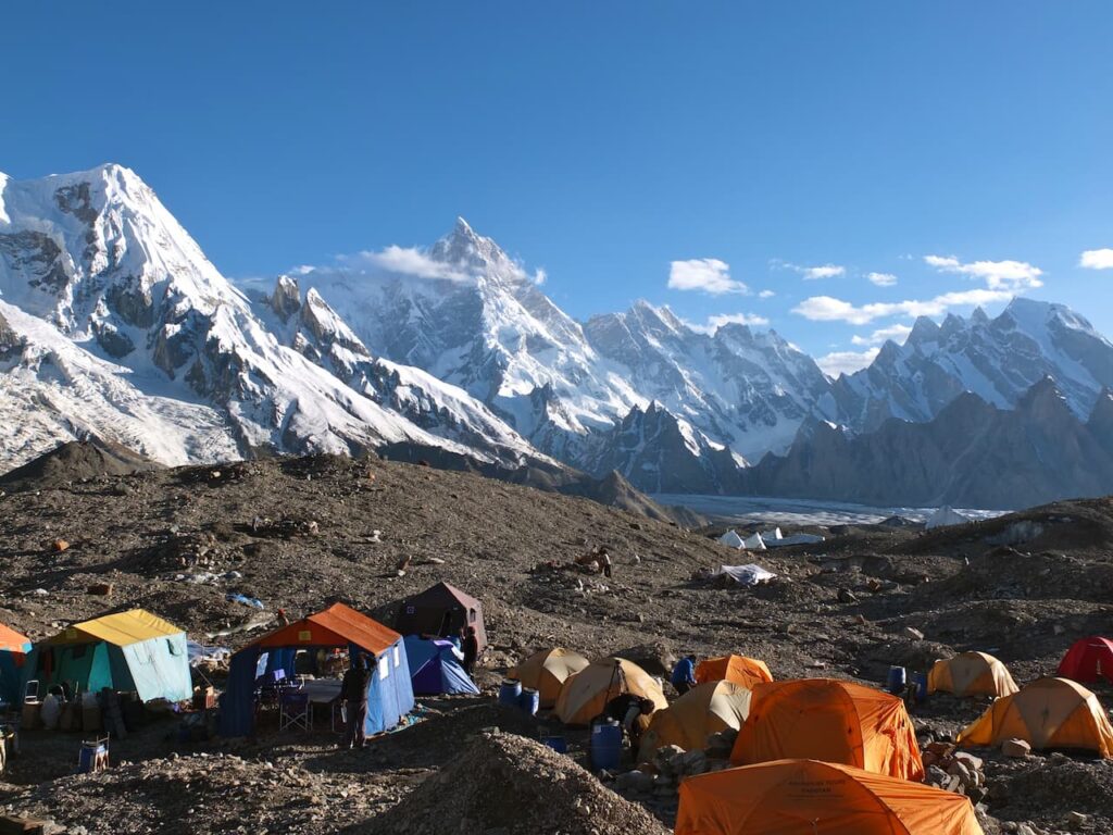
At Concordia Circus, the Karakorum icy square, you are finally in presence of the great Pakistani 8000 peaks. The panorama is really superb. Looking left, you can see the unmistakable pyramid of K2 in all its unflappable greatness. In front you can see the Broad peak and Gasherbrum various ridges. On the right the glacier continues up to Chogolisa, Snow Dome and Baltoro Kangri. You are now in one of the most extraordinary places on Earth.
Concordia – K2 Base Camp 5135 m 3-4 hours on foot
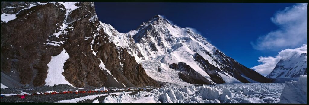
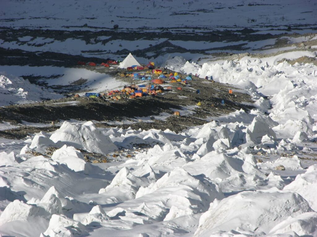
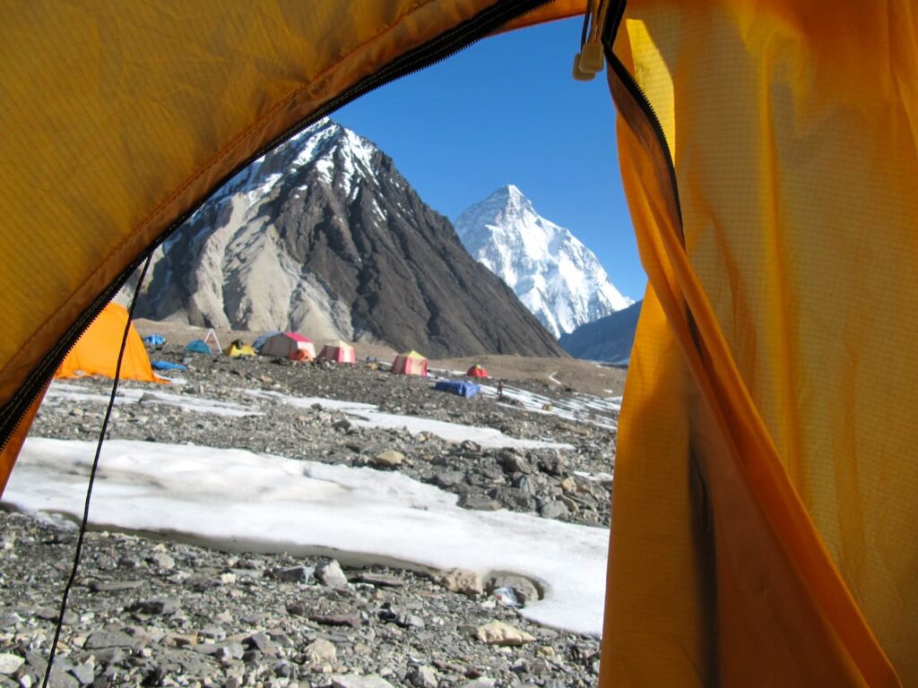
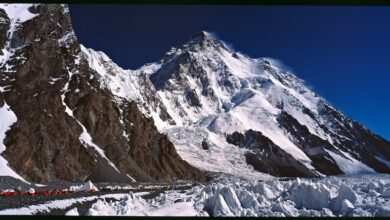
From Concordia Circus you point north, towards the K2 pyramid, almost perfect from here. In few hours you arrive at the base camp, final destination of the trek. From here the eyes can follow the line of the Abruzzi Spur, right up to the shoulder, at 7950 meters, the most advanced camp. From there the climbers attempted the summit. Above the terrible bottleneck with its hanging serac, still behind you can see the peak of the Great Mountain.

